 Monday, 28 September 2020 on 4:01pm
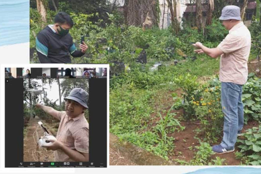
SEAMEO BIOTROP
conducted an online training on Geodatabase Management of Monitoring and
Diagnostic Application System for Plant Pests and Diseases on 10-13 August
2020. This activity was intended to improve the skills and knowledge of
teachers participating in the SMARTS BE program in managing spatial and
non-spatial data for the purposes of monitoring, reporting and diagnosing plant
pests and diseases, as well as optimizing the use of systems that have been
developed by the Center. A total of 48 teachers from various vocational schools
participating in BIOTROP’s SMARTS-BE program joined this activity.
Dr Irdika
Mansur, BIOTROP Director, in his opening remarks, said that the SMARTS-BE
program is an effort to intensify agricultural space (land), so that spatial
and non-spatial based data and information related to land and plants need to
be monitored and processed into useful information. This is aimed at optimizing
production while still applying the principles of sustainable agriculture.
"BIOTROP
has developed a geolocation-based monitoring and diagnosis system for plant
pests and diseases. The application was developed using an Android-based
smartphone platform and a web-GIS dashboard to facilitate monitoring and
reporting on the implementation of SMARTS BE activities in each program
participating school," said Dr Irdika. In line with the dynamic principles
of information and feedback conveyed by teachers, partners in charge and
implementers in each school, he continued, a diagnostic system was developed as
a follow-up to reporting and monitoring of geolocation-based plants. This
system can assist implementers in taking care and handling of plant pests and
diseases so that plants thrive and provide optimal results.
In this
activity, the Centre presented its experts as the resource persons, namely Dr
Supriyanto, Harry Imantho, MSc, Slamet Widodo Sugiarto, SSi, and Oxa Aspera
Endiviana, ST. They delivered materials consisting of 1) Geospatial concepts
and applications in agriculture; 2) Surveying, data acquisition and crop
geotagging techniques; 3) Geodatabase making; 4) Spatial analysis for
monitoring and identification of pests and plant diseases; 5) Standard Operating
Procedures for implementing a geolocation-based plant diagnostic system; and 6)
The use of a geolocation-based plant diagnostic system application. (zsp)