 Monday, 30 August 2021 on 6:01pm
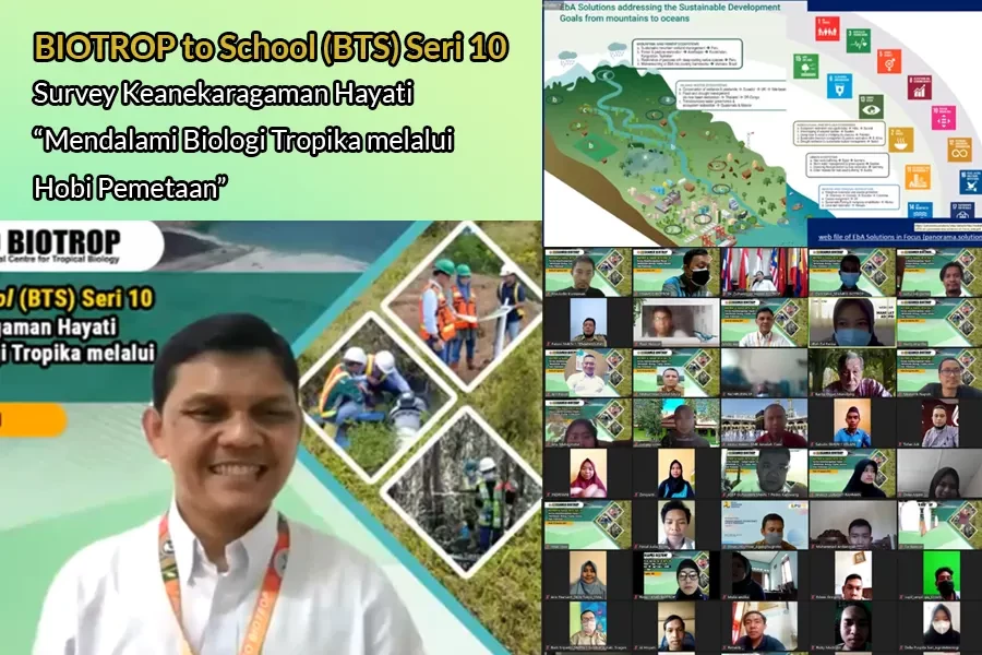
Mapping is an important tool to determine the existing biodiversity in an area. In implementing its mandate of training, SEAMEO BIOTROP held the 10th Seri of BIOTROP to School webinar, with the topic “Biodiversity Survey: Learning Tropical Biology through Mapping”. The resource person was Mr Armaiki Yusmur, MSi, the Head of Biosystem Landscape and Management Laboratory. This laboratory conducts research and development on marginal land management and restoration, fungicide efficacy tests, as well as development of mycorrhiza inoculum and potential soil bacteria for reviving soil fertility.
During his opening remarks, the Director of SEAMEO BIOTROP, Dr Zulhamsyah Imran stated that biodiversity mapping is important in establishing biodiversity maps within the national, regional and international scopes. “Biodiversity mapping is useful to determine biodiversity abundance and loss as well as migration paths of terrestrial and aquatic biotas. Mapping can also determine the flow of wastes, especially plastic wastes, so that we can develop spatial temporal models of macro plastic waste from the origin to the ocean. It is hoped that in the near future, mapping can be carried out using our smartphones”, he further added.
The resource person, Mr Armaiki Yusmur, MSi, shared his experiences in visiting the map points in various areas in Indonesia, both in terrestrial and aquatic ecosystems. He shared the visits were conducted after looking at the Landsat imageries, to determine whether or not the conditions in certain map points are still the same or have changed into different conditions. He also shared several important aspects that needed to be prepared prior to the visits, such as itineraries of the journeys, modes of transportation, logistics, and funding. “In preparing such itineraries, it is important to include local people who really understand the conditions and challenges that will be faced along the way to the map points locations and then, we have to make preparations based on the information,” he further added.
Mr Armaiki also shared that it is possible for students of vocational schools to learn about mapping by using the most current technologies. The students can start by identifying the vegetation around the schools’ areas. He also offered the students to join the internship program in mapping and research collaborations with other institutions. (sis).