Decision Support System on Spatial Planning for Food Security
Hartrisari. H, Harry Imantho, Desi Suyamto, 2013Downloaded 0 times, Read 5620 times
Description
At the moment, Indonesian agriculture condition on fulfilling the food needs has been decreased and relies on importing from other countries. We could say that Indonesia is currently in a state of “Prone to food” not because only the unavailability of food, but because of the dependency on foreign countries . BPS (2010) mentioned that in 2010, Indonesia has imported 2 million tons of rice, 1.2 million tons of soybean, 800 thousand tons of peanuts, 5 million tons of wheat and 600 thousands of beef cattle. This happened because the food security program in agricultural development listed on RPJMN (National Medium Term of Development Plan) from 2005 to 2009 is not achieved. In fact, there area lots of alternative food plants that could function as subtitute of rice in the point of view of carbohydrate concentration, such as cassava, corn, sago, wheat, potatoes and other local resources. Unforunately, there is a resistance issue existing by saying that “non-rice” is an un-prestigious food. Facing the fact of rice limitation in the future, the need for diversification of non-rice food based on local resources could serve as one solution. In terms of agriculture production, this will minimize the business risks of monoculture farming type, increase farmers’ income, and could conserve the natural resources.
Geographic Information System (GIS) is a system that can integrate information between graphical data (spatial) with text data (attributes) that are connected in geographic objects on earth. The GIS can combine data, organize data and perform data analysis that will result in maps that can be used as a reference in decision in the spatial planning.
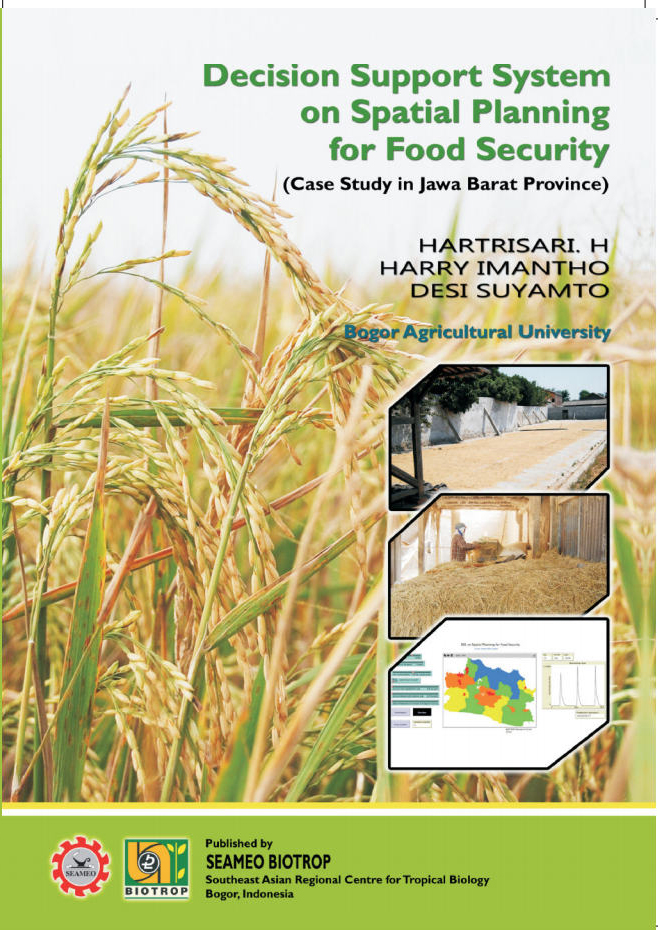
Decision Support System (DSS) on Spatial Planning for Food Security has been constructed using GIS coupled with system dynamics. The DSS developed is expected to provide an overview for decision maker in order to establish a policy for food security planning. The resulting map of potential rice production and food security/insecurity condition clarified by graphs could facilitate decision makers in planning for defining and determining policy related to the potential area of rice production in Indonesia.
This book is aimed to describe the development of Decision Support System on Spatial Planning for Food Security. Jawa Barat Province is taken as case study location for the DSS design an validation. In general, the book convers:
a.Formulation of computational requirement for spatial availability, distribution, and consumption as the basic componens for DSS development
b.Development of DSS on Spatial Planning for Food Security
c.Validation of DSS developed with primary and secondary data in Jawa Barat Province as case study
d.DSS performance with Jawa Barat Province as case study for resulting in outputs for decision makers (in this case the Ministry of Agriculture) in order to determine the policy of food security while maintaining the rice sufficiency at one region.
The DSS is developed in the form of integrated software called “DSS on Foodsec 1.0” (Decision Support System for Food Security version 1.0) with Jawa Barat Province has been taken as the location for the prototype validation test.
Eventhough the DSS prototype is constructed for Jawa Barat Province, but the general steps on building the DSS were presented in this book. It is expected that this prototype of DSS could be extended and applied for other provinces in Indonesia.