 Tuesday, 07 July 2020 on 11:23am
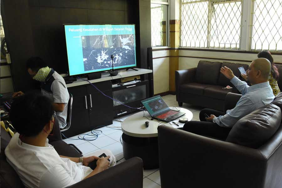
SEAMEO BIOTROP presented Aslan, PhD, the
Centre’s Research Manager, in its 1st 2020 online Quarterly Public
Seminar, held on 29 June 2020, to talk about his team’s research study in 2019 on
the urgency of peatland mapping and analysis studies in Indonesia using active
and passive satellite imagery method in supporting low carbon development. A
total of 96 participants from various Indonesian research and education institutions
as well as private companies and non-government organizations joined this online
activity.
At this seminar,
Dr Aslan said that forest protection and peatland restoration are among five
main policies of the Indonesian Government pertaining to low carbon development
planning (PPRK), because the amount of carbon stored in the soil of peatland
ecosystems is estimated to be 10 times greater than that stored above the soil
surface. The carbon stored in the peatlands must be kept relatively stable and
not be emitted into the atmosphere to prevent global warming.
He continued, based
on the 2015 National Determined Contribution (NDC) document, written in the
Paris Agreement, the Government of Indonesia has set a target of reducing Greenhouse
Gas (GHG) emissions, which is 29% unconditionally (on its own) and 41%
conditionally (with adequate international support) in 2030.
To support this
policy, Dr Aslan and his team carried out research activities to ensure the
availability of accurate basic information related to the latest map of peatland
distribution in Indonesia as a basis for national low carbon policy making. He
utilized remote sensing technology from active and passive satellite imagery
method, including geostatistical modeling, and used input of more than 20
thousand validated peatland field observations from various sources. Through
the MaxEnt geostatistical modeling approach, four scenarios of peatland
distribution throughout Indonesia were produced.
Dr Aslan
explained that mapping using active and passive satellite imagery method has
three advantages. First, it produces a map of peatland distribution that can
combine the advantages possessed by active and passive satellite images.
Indonesia as a tropical country is strongly influenced by cloud cover which greatly
affects the accuracy of mapping peatland distribution in Indonesia. In this
context, the use of active satellite imagery method, which is based on radar
waves, is a solution for peatland mapping activities in the tropics that are
often disrupted by cloud cover because radar sensors have the ability to
penetrate clouds.
Second, the map of
peatland distribution produced has a more detailed scale, which is 1:100,000 (much
better in terms of accuracy) compared to the 1:250,000 reference map issued by the
Centre for Agricultural Land Resources (BBSDLP) of the Indonesian Ministry of
Agriculture. As an illustration, based on data released by BBSLDP (2011), no
peatland cover was found in Sulawesi Island, but the results of this study showed
the opposite. The existence of peatland in Sulawesi Island has been verified
from field observation data (ground truth), active and passive satellite data
monitoring, as well as from media news about peatland fires in Southeast
Sulawesi Province in 2019.
Third, the map
of peatland distribution is generated using a systematic and efficient approach
because it is derived from geostatistics modeling of Big Data Analysis and
compilation of active and passive satellite data using Google Earth Engine
technology. On the other hand, the map of peatland distribution issued by
BBSLDP (2011) was produced using the peatland distribution boundary mapping
method which might be biased because it uses a visual interpretation mapping
technique having limitations and requires expertise and highly experienced operators
to recognize the characteristics of the satellite image hue and peat soil
covered by vegetation in the field.
From the results
of this study, Dr Aslan said that the latest spatial data and information on
peatlands in Indonesia on a scale of 1: 100,000 is available in the form of
geodatabases and printed maps. In addition, a web-based interactive map (GIS
web) of peatlands in Indonesia can be accessed in https://gambut.netlify.com/.
The method used in this study can also be applied by other parties with minimum
supervision and unbiased results. Nevertheless, he said, the map of peatland
distribution resulting from this study was still a probable presence of
peatlands because it was produced based on a geostatistical modeling approach.
Therefore, it is necessary to carry out a further thorough and systematic field
validation and verification of the results.
Dr Aslan is a professional researcher and
philanthropist with a strong background in spatial planning, remote sensing,
geographic information systems (GIS) and natural resource management. He earned
a PhD degree in Environmental Science from Indiana University, USA, in 2017 and
an MS degree in Civil and Environmental Engineering from University of
Missouri, USA, in 2009.